UN
4 Elsfield Road
£ 1,195,500
Description
We don't have a Description for this property.
- Bedrooms
- 5
- Bathrooms
- 0
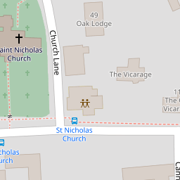
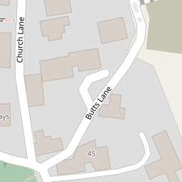
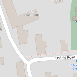


Leaflet © OpenStreetMap contributors
The heatmap indicates the level of crime in the area. The color of the heatmap indicates the crime severity and recency.
Metrics Year-on-Year
- Average area value
- 620,000.00 £Increased by 19.65 %
- Average area rental value
- 1,496.00 £/moDecreased by 23.44 %
- Est rental Yield
- 2.90 %Decreased by 35.98 %
- Crime Rate
- 11.00 %Unchanged by 0.00 %
from 518,187.00 £
from 1,954.00 £/mo
from 4.53 %
from 11.00 %
Nearby Schools
| Name | Type | Ofsted | Distance |
|---|---|---|---|
| St Nicholas' Primary And Nursery School | Community School | Good | 0.54 KM |
| Oxfordshire Hospital School | Community Special School | Outstanding | 0.56 KM |
| Meadowbrook College | Academy Alternative Provision Converter | Good | 0.62 KM |
| The Swan School | Free Schools | 0.62 KM | |
| New Marston Primary School | Academy Sponsor Led | Good | 1.29 KM |
Images
Nearby Streets
| Name | Average Price | Average Sqft | Distance |
|---|---|---|---|
| Butts Lane | £ 117,000 | 0 | 0.00 KM |
| Arlington Drive | £ 0 | 0 | 0.00 KM |
| Crotch Crescent | £ 400,000 | 0 | 0.00 KM |
| Hill Farm Cottage | £ 0 | 0 | 0.00 KM |
| Marston Cyclepath | £ 0 | 0 | 0.00 KM |
Nearby Transport
| Name | NLC | TLC | Distance |
|---|---|---|---|
| Oxford | 3115 | OXF | 4.44 KM |
| Oxford Parkway | 3121 | OXP | 5.21 KM |
| Islip | 3110 | ISP | 5.56 KM |
| Radley | 3118 | RAD | 9.98 KM |
Nearby Listings
| Address | Price | Type | Score | Distance |
|---|---|---|---|---|
| White Hart, Old Marston, OX3 | £ 1,600,000 | BUY | 8 / 10 | 0.09 KM |
| Byways, Church Lane, Marston, Oxford OX3 0PT | £ 1,000,000 | BUY | 6 / 10 | 0.11 KM |
| Old Marston Village | £ 400,000 | BUY | 5 / 10 | 0.20 KM |
| Church Lane Old Marston Village | £ 400,000 | BUY | 5 / 10 | 0.20 KM |
| Harlow Way, Marston | £ 400,000 | BUY | 7 / 10 | 0.25 KM |
Nearby Properties
| Address | Price | Distance |
|---|---|---|
| 4 Elsfield Road | £ 1,195,500 | 0.00 KM |
| 7 Elsfield Road | £ 785,000 | 0.02 KM |
| 10 Elsfield Road | £ 1,300,000 | 0.02 KM |
| 37 Church Lane | £ 228,000 | 0.08 KM |
| 35 Church Lane | £ 182,500 | 0.10 KM |